Meera cant believe that this trip was decided so fast. Tickets purchased in a day, stuff for the trip in another couple of days more, lightning fast leave applications at work, last minute surprises and we were out of Bangalore in less than two weeks from the day we thought this up.

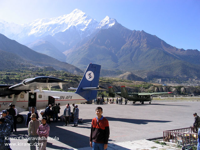
We are at Pokhara airport. We have waited three days in Pokhara to be on a plane to jomsom. Just as soon as we got to Pokhara the little town has seen some unusual amount of rain and the airport closed. We even thought of trekking upto Jomsom which can take 3 days or more as there are no motorable roads to Jomsom. But then after some insanely heavy rain the previous night the clouds have cleared and the flights are operational again.

The plane ride from Pokhara to Jomsom keeps everyone on the edge of their seats. The little plane flies in the gorges between huge himalayan cliffs gaining altitude steadily in order to reach high station Jomsom. On this ride you get to see first hand how really high the himalayas cliffs are. Tiny villages rest on hilltops of smaller cliffs. Each of the villages are so isolated that its altleast three days walk to the nearest town that has a motorable road. The Himalayas also trap the mounsoon clouds from getting to Tibet. Here, you get a first hand view of what that means. The Cliffs clearly rise much above the cloud cover. As a result the lower himalaya is green and water rich sending all the water back to India while Tibet on the other side has eroded to be a dry plateau. From the cockpit view is the Dhaulagiri, the seventh highest mountain in the world (8167m or 26795 ft).

Safe landing at Jomsom airport. For last minute fun the plane leaps over a gorge and a river that runs very close to the edge of the runway. As soon as we got out, we immediatly noticed that the air is much cooler here. Nilgiri stands tall overlooking the airport. There is an army camp nearby. The airstrip is shared both by the army and commercial operators. Flights to jomsom operate only in the morning as it gets very windy in the afternoons.

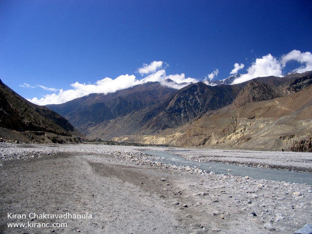
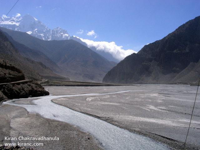
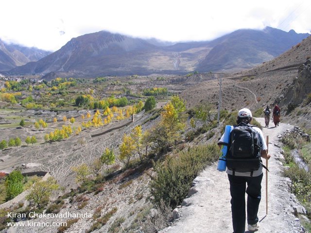
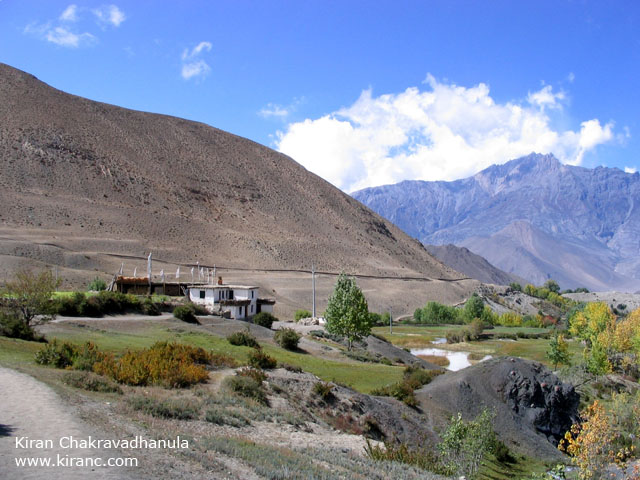
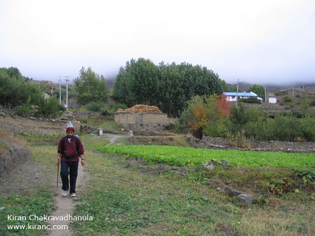
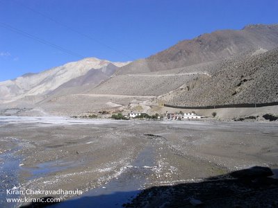
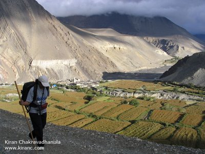
After breakfast in the German Bakery and a change of clothes it takes us twenty minutes to get out of Jomsom into the Kali Gandaki river valley. This river is full in the monsoons. We did most of the trail on the river bed as it is easier to walk on flat terrain. Climb up to the paths cut into cliffs if you reach deep water.

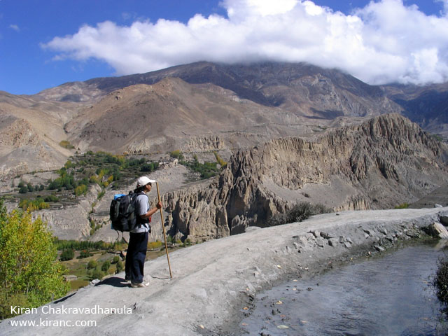
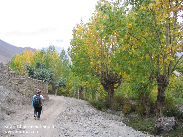
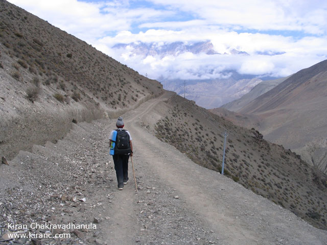
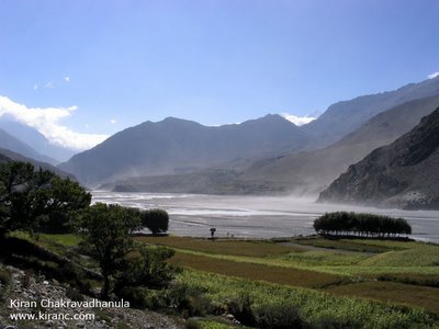
Looking back, Jomsom going out of sight. The landscape is truly amazing.

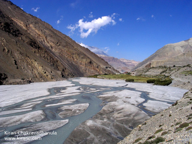
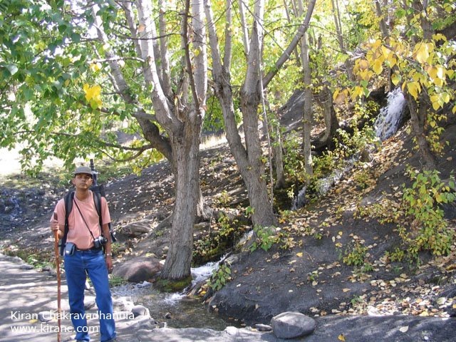
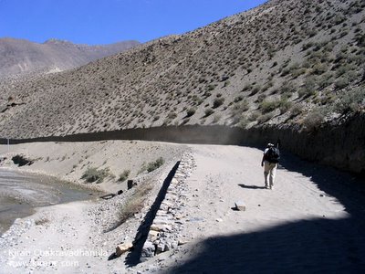
Tall mountains line up on both sides of the river bed. Walking here, there are very few thoughts in the head and all you have to do is watch yor path ahead. The huge mountains stand quietly in the distance. Every once in a while you meet a trekker or two walk towards you, a nod and a hello starts and ends the brief acquaintance.

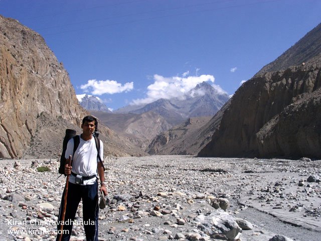
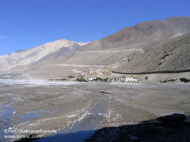
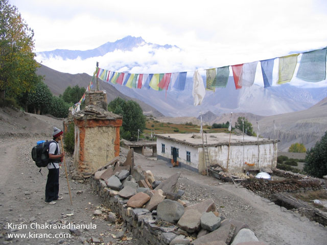
The trail ahead leads to Eklaibatti, Kagbeni and all the way to Mustang.

As a trekker all we do is walk in the valleys between mountains. We shall never really know the mountains.

Meera.

The Nilgiri peak is behind us as we walk to Kagbeni. The best time to photograph mountains is during early morning or during sunset. During midday there is very little contrast between the sky and the mountain.
The town of Eklaibatti. But we are not stopping here. We have to get to Kagbeni soon. People usually halt at Eklaibatti when they are heading back to Jomsom from Muktinath.
The trail over Eklaibatti.

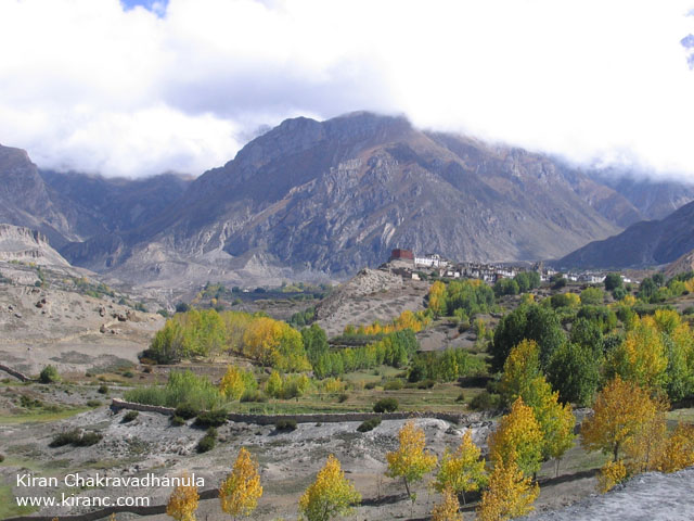
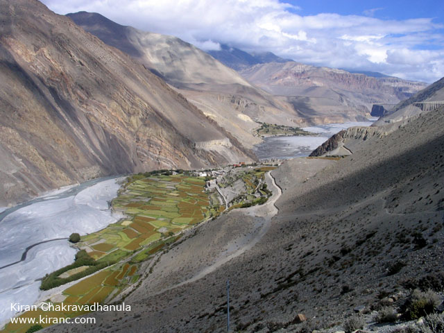
The town of Kagbeni in the distance.

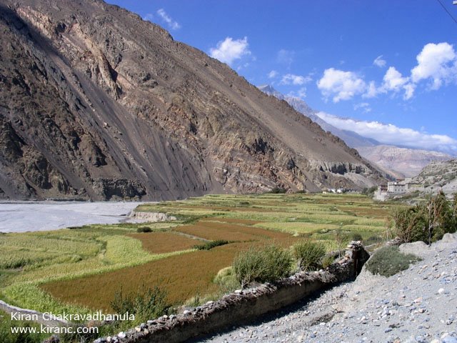
They grow crops at Kagbeni. Grain, lettuce and apples.
Kagbeni is a windy little village. Strong cold wind blows continuously all day. In the river valley the wind forms shapes of rising dust all day.

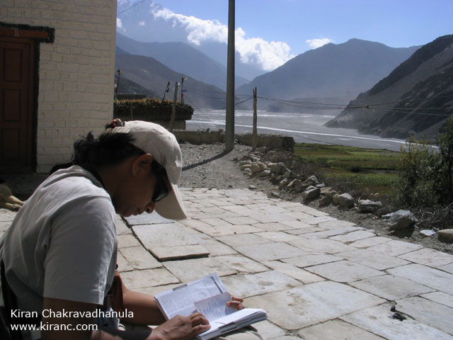
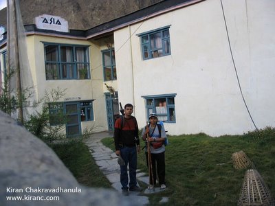
Meera looks up a list of lodges at Kagbeni. We decide to check in to the Asia trekkers lodge.

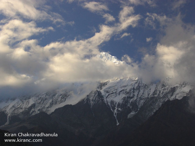
The Nilgiri peak in the evening.
The next day 6:30 in the morning before we set out to Muktinath.

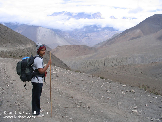
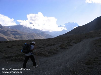
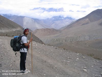
Its going to be a hard walk to Muktinath from Kagbeni. Climb up to the high plateau behind kagbeni (In the pic its the spot just below the sun), from there its flat all the way up to Jharkot. From Jharkot its an ascent all the way upto Ranipuwa and Muktinath.

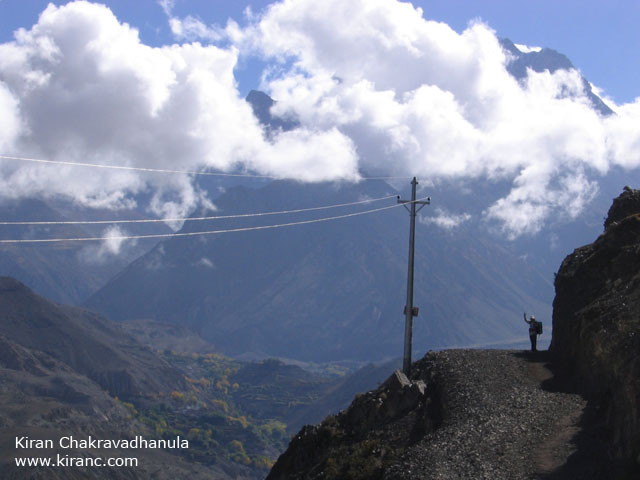
A trekker offers to take our picture. Behind us is the way we came from the previous day.

Kagbeni to the far right.
The valley ahead further leads to Mustang, the forbidden region. The permit to trek in this region costs $700 . Further up is tibet.


At the high Plateau.
The trail to Muktinath.

Meera waves. The trees in the valley behind her is Jharkot. We will be passing Jharkot later in the day.

Town of Kingra. Here is the scale,less than ten houses in the middle of nowhere is a village and more is a town.

The route takes a turn around a cliff to get to Jharkot.

Up ahead is Jharkot.

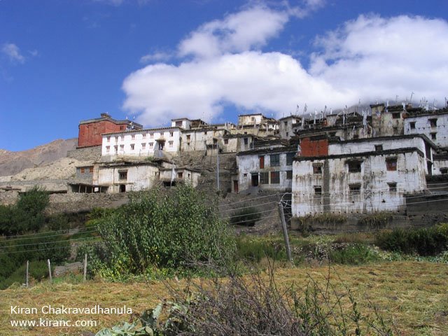
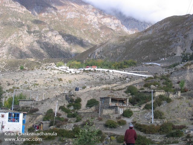
The town of Jharkot.


A stream.

The town of Jharkot. Elevation 3500 metres.

Looking back at Jharkot village atop the cliff. You have to climb higher to get to Ranipuwa. This is a tough climb and energies were running out.

This little fellow was eating a fresh radish after school.

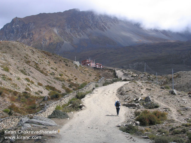
Ranipuwa in the distance.


Entering Ranipuwa. Elevation 3710 metres.

We stayed at the New Mustang Hotel at Ranipuwa. All goods are transported by mule or men. Paid Rs 75 for a bottle of coke. Prices go up with the altitude.

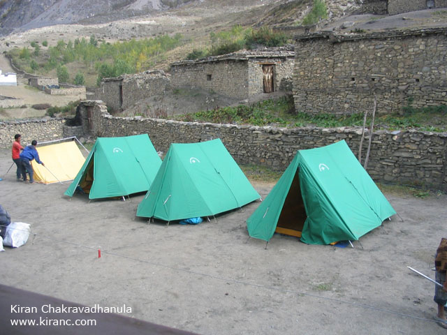
Some campers behind our hotel.

After lunch we visit Muktinath temple

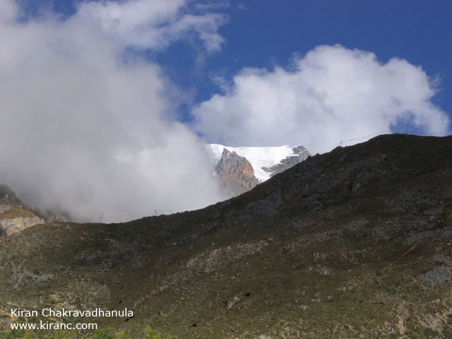
Glacier above Muktinath.
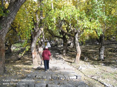
The tree grove around Muktinath.

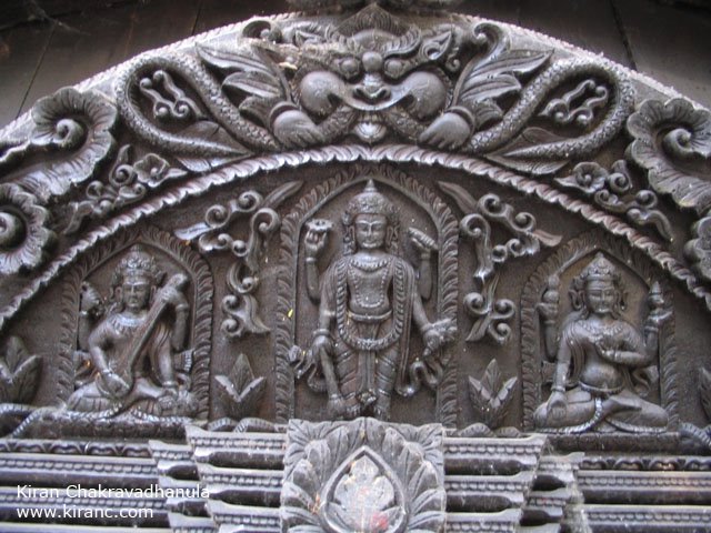
Muktinath temple. Elevation 3800 metres. Hindus and Buddhists alike visit Muktinath. The temple is built in the pagoda style dedicated to Lord Vishnu or Avalokiteshwara as the buddhists call him. For Hindus, Muktinath is one of the most important places of piligrimage. Due to its remoteness Muktinath dosent see piligrims by the thousands.

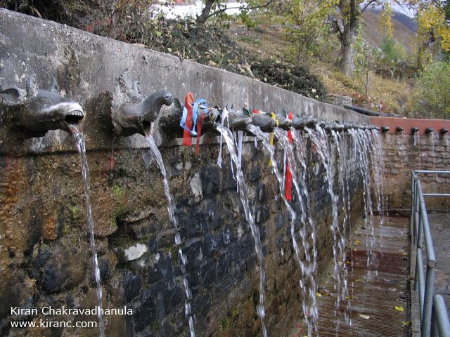
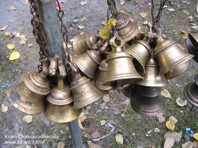
Water from the Glacier above flows down through these Gomukhs. There are 108 of these behind the temple.


Around Muktinath is the Fire Gompa, Narsingh Gompa, Sangdo Gompa and the Shiva Parvati mandir.
The Fire Gompa is interesting. Its also called the Four elements temple or Jwala Mai. Inside the temple is a hole in the ground where you can see a flame burning out of natural gas. You will also hear the flow of an underground stream of water.
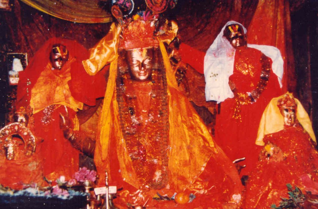
There are other very old monastaries in the area with unbelievably great artwork on the walls. Photography is strictly prohibited. I have managed to get a few great pictures but I cant put up those pictures online.
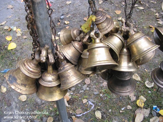
In Jomsom there is is a sign that says:
Muktinath is beautiful, calm and quiet,
great and mysterious for piligrims,
decorated with god and goddess,
Although you are kindly requested
not to snap them.

There is a helipad just outside Muktinath. Groups of Well-to-do Indians charter a helicopter from Pokhara directly to Muktinath temple.

Lord Vishnu inscribed on the door.
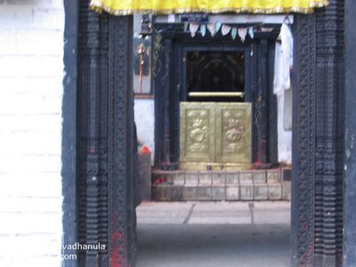

I couldnt take a picture of the shrine as photography is prohibited. This is a scan of a postcard of the shrine inside.

The next day, leaving Raipuwa and heading towards Jomsom.

A group of French trekkers. They were singing in chorus as they walked.


It is an easy walk to jomsom as it is all downhill.

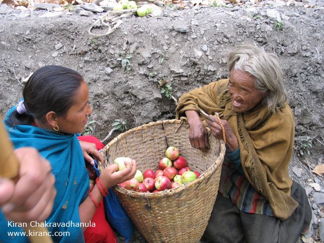
Meera took a liking for this old lady. We bought Mustang apples from her for Rs 2 a piece.

The people living here donot have much use for money. They seem to sustain themselves with whatever little they grow.


I was feeling a little sad to leave this place. I would be spending my next few days of the trip mostly in city environs.

Meera and I.
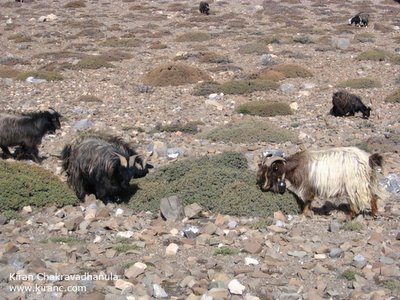
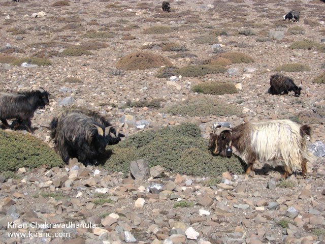
Mountain Goats.

Looking down to Kagbeni. Goodbye Kagbeni. Until next time.

The path to Jomsom.
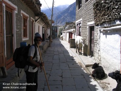
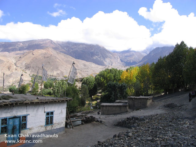
Jomsom town with its streets paved in stone.

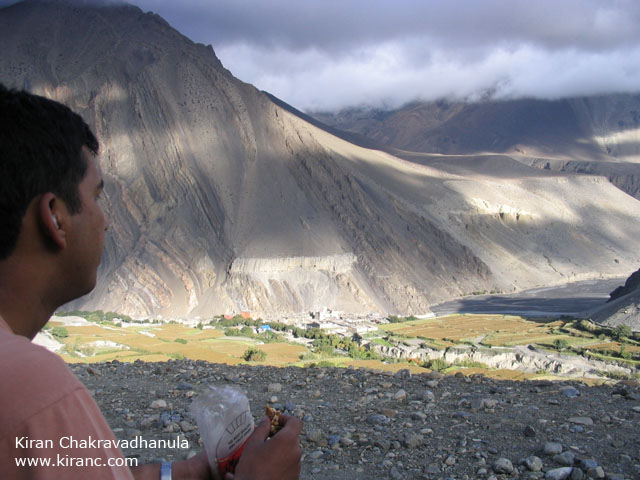
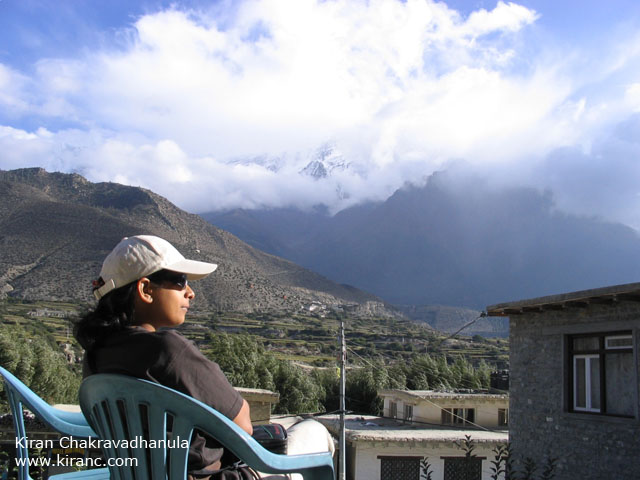
Taking in the afternoon sun in Jomsom with Nilgiri in front of us.

Majestic Nilgiri

I loved the whole experience of trekking in the Himalaya. I havent seen such vast spaces or such high mountains before.
I have met people on this trip who regularly return to Nepal to see the various parts of the Himalaya. This is definitely, the number one trekking destination in the world. For me, there is lots more to be explored in this region, its going to take more trips.
If you have found the information here useful or enjoyed reading this travelogue, please do leave a comment to let us know that you have visited ( Click on the comment link ). Thanks for dropping by.
-Kiran & Meera
www.kiranc.com